Looking out at Ono Island from the balcony of the condo where I am residing on Perdido Key it is easy to assume the island has been tamed. The 8-mile long barrier has one house after another competing for a gawker’s attention like rows of contestants standing on a pageant stage. Ono has its own municipal government, its own infrastructure, water, and a Fire Department. It also has several interior canals for water traffic, further allowing for the use of every square inch of space to be used by boat owning homeowners. But the order ends at the water’s edge, especially on a slightly windy day, and especially on the northeastern end of the island.
Ono Island is bordered by Bayou St. John to the north and Old River to the south. The Perdido River pushes into Bayou St. John from further north via Perdido Bay. The river has only two small areas to escape to the Gulf of Mexico, Perdido Pass to the west or Dolphin Pass to the east. At Dolphin Pass the waters of Perdido must squeeze through to Big Lagoon that lies south of Pensacola at the Naval Air Station. Shifting tides and big boats that use the water ways means that someone in a kayak with a nonworking rudder has to pay attention.
Old River is somewhat protected from these confluence of currents by the island itself, which may be why the island was originally named Orinoco by the Spanish in the 15th century, meaning “a place to paddle.” As I write this morning from the balcony with coffee in hand overlooking Old River at least 6 paddlers have already passed; five in one group were being directed by a coach from a small motor boat, and one gentleman paddled by several minutes later in a beautiful shiny wooden kayak.

The dolphins like Old River, too. Thanks to the generosity of friends, my family stays at this same spot every trip to Coastal Alabama and the dolphins never fail to show up to entertain the kids while feeding in the shallow waters. From this vantage point Old River is tranquil and welcoming. So, it is with a lackadaisical attitude that my wife and I hopped in our Wilderness Tsunami Kayaks around 1:00 pm for a short two hour trip. We made no particular plans except to take a quick look at a map online. We’d be back in plenty of time to shower, and prep the redfish we purchased for grilling that evening.
That was our first mistake.
Big open water is a lot like big open spaces on land. Distance is tough to estimate. I can recall as a young man walking the row crops of my father’s farm and thinking how close the trees looked on the far end of the field. You could sometimes walk blisters on your feet and still be barely half-way across.

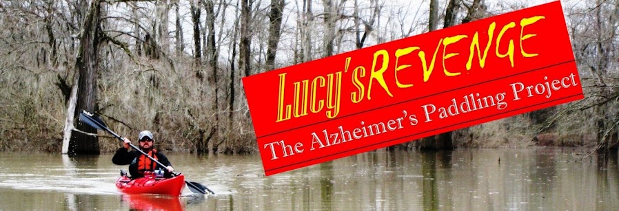
A paddler enjoys the calm waters and confines of Old River on a Sunday morning excursion.
The dolphins like Old River, too. Thanks to the generosity of friends, my family stays at this same spot every trip to Coastal Alabama and the dolphins never fail to show up to entertain the kids while feeding in the shallow waters. From this vantage point Old River is tranquil and welcoming. So, it is with a lackadaisical attitude that my wife and I hopped in our Wilderness Tsunami Kayaks around 1:00 pm for a short two hour trip. We made no particular plans except to take a quick look at a map online. We’d be back in plenty of time to shower, and prep the redfish we purchased for grilling that evening.
That was our first mistake.
Big open water is a lot like big open spaces on land. Distance is tough to estimate. I can recall as a young man walking the row crops of my father’s farm and thinking how close the trees looked on the far end of the field. You could sometimes walk blisters on your feet and still be barely half-way across.
We paddled west out of Old River around the end of Ono and north towards a peninsula that juts out to help form Terry Cove to west. After stopping to enjoy a flock of around 50 pelicans on one of the uninhabited islands that dots the water north of Perdido Pass, we hugged the north shore of Terry Cove, paddling past the Orange Beach Marina.

A few of the 50 or more pelicans can no longer resist the urge to take flight when my kayak closes in.
Nice little tour. And it should have ended there. At that point we could have easily back paddled, or maybe went south to Cottons Bayou and around a couple of other small islands. Then we could have headed home to a cold beer and the smell of a preheating grill.
But, we didn’t do that.
My wife and I have always enjoyed hopping in the car with no specific plan to drive and sightsee. But, that attitude can get you in trouble on the water with the sun dropping, and the temperature with it. We were thinking—that is thinking and not knowing— that we could easily make it all the way around the north side of Ono. The thought was that we would circle the eastern tip and head west on Old River, but we were paddling into waters we did not know.
That was the second mistake.
A few hours earlier, prior to launching our boats we took a short look at an online map and paid no attention to mileage. It simply looked doable. But, looks can be deceiving. If real life were as easy as a map I wouldn’t spend time sitting in traffic most mornings. It’s all about the unforeseen.
After paddling the north shore of Bayou St. John, we crossed from the peninsula that bordered Perdido Bay south to the Peninsula that protects Goat Bayou on Ono Island. Here is where the water began to get choppy, where the cold brackish water and the big power boats had little concern for a boat without a controllable rudder. But I didn’t stop to notice the signs. We soldiered on.
A closer look at the map (post trip) shows that the north side of Ono squeezes the waters of Perdido River via Perdido Bay into less than a quarter mile. Then it further narrows at Dolphin Pass. We were caught in some heavy churn here that caused us to seek refuge and possibly another passage to Old River through a series of man-made canals for the islands homeowners. But, with no outlet found and at least another hour lost, we had to leave those safe confines and again hit the churn of Perdido. I made a not-very-popular-decision with my travelling companion; we would continue east around the tip of Ono and then get to Old River as quickly as possible. I figured with the wind and current behind us we would make good time, much better than if we attempted to back paddle facing the wind and the current, and my wife was complaining that she was wearing down.
A closer look at the map (post trip) shows that the north side of Ono squeezes the waters of Perdido River via Perdido Bay into less than a quarter mile. Then it further narrows at Dolphin Pass. We were caught in some heavy churn here that caused us to seek refuge and possibly another passage to Old River through a series of man-made canals for the islands homeowners. But, with no outlet found and at least another hour lost, we had to leave those safe confines and again hit the churn of Perdido. I made a not-very-popular-decision with my travelling companion; we would continue east around the tip of Ono and then get to Old River as quickly as possible. I figured with the wind and current behind us we would make good time, much better than if we attempted to back paddle facing the wind and the current, and my wife was complaining that she was wearing down.

Sharon is pleasantly distracted with a playful dolphin off the northeastern shoreline of Ono Island. Notice the increasingly choppy waters.
Her dissatisfaction with the decision was momentarily forgotten when a dolphin came within a few feet to get a closer look, and I pushed ahead to negate any attempts at lobbying on her part. By the time I slowed and she caught up, we were too far along to go back. As we reached the eastern tip of Ono, she began to relax, but with the sun setting the temperature was dropping fast. I had to make another quick decision. We weren’t going to make it the full 7 mile length of Old River back to the condo. So, I headed south toward Perdido Key State Park, and as close to Highway 292 as quickly as possible. Again, she began lobbying, but again as my fingers went numb from the plunging temperatures, I pushed ahead.
I quickly unpacked my phone from the dry pack upon hitting the sands of the Park, called my oldest son Isaac to instruct him to drive east, helped my now arriving wife from her boat, and trudged the quarter mile of dunes, sea oats and briars having learned a valuable lesson.
From now on, no matter how easy it looks, I’ll print and take a map with me to be sure I have easy access to the lay of the land. Things look different on the water. I’ll stop and consider the signs around me. I’ll take the time to fix a problem with my gear, like a loose rudder, before I launch. And, I’ll always know that a quick and easy 5-mile trip can unexpectedly turn into a difficult 15-miler with one bad decision.
No comments:
Post a Comment